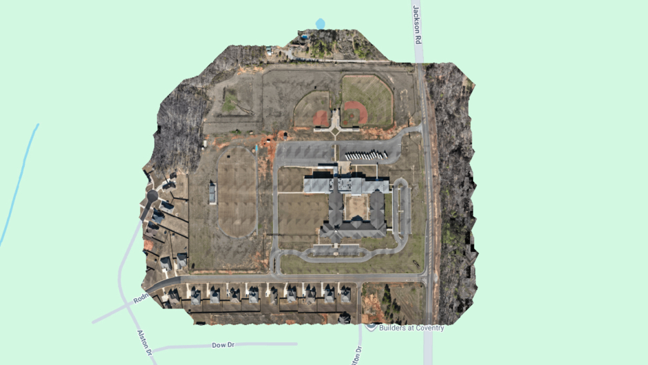
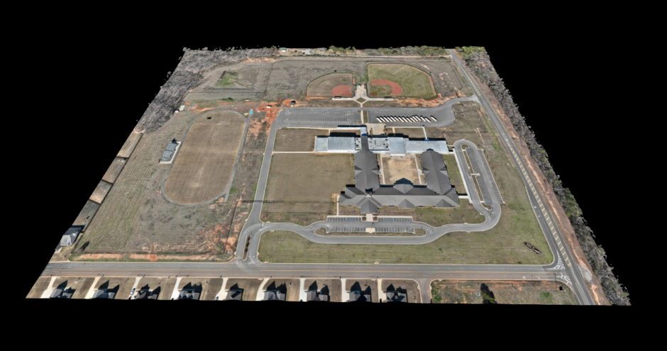
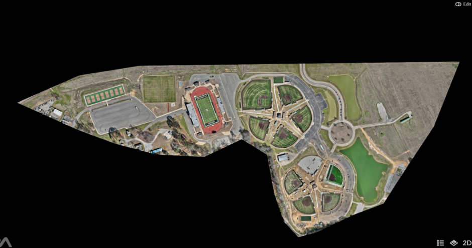
Drone mapping and modeling is done by capturing dozens, hundreds, or even thousands of photos and stitching them together to create a highly detailed orthomosaic map that eliminates camera distortions. Drone mapping and modeling provide 2D maps and 3D models of properties. Some uses for this technology include, but not limited to:
Construction – Progress monitoring, hazard identificaton, distance and cut/fill volume measurements, dispute resolution regarding delivered materials, equipment inventory.
Agriculture – Monitor crops, plan irrigation.
Mining – calculate stockpile volumes and plan safe excavation.
Real Estate – marketing and land analysis of large properties.
Environmental Monitoring – Track erosion, vegetation, disaster recovery zones.
Archaeology – Drones produce detailed 3D models of archaeological sites, enabling researchers to explore and document historical sites without causing disturbance. These detailed models of historical structures and sites aid in preservation efforts, serving as invaluable digital records for future generations.
I use a DJI Matrice 4E RTK drone that I connect to a coordinate system that gives accurate maps.
You can view a detailed view of the maps and models above by clicking these links:
https://hooksimages.nira.app/a/7fL-NSEcQQuL1DExZQ1LSQ/1
https://hooksimages.nira.app/a/ehzQOPB6R0-zKpwn_-QMeg/1
Disclaimer: I am not a licensed surveyor.